Sandborn Fire Insurance Maps – The Pre-Incorporation:
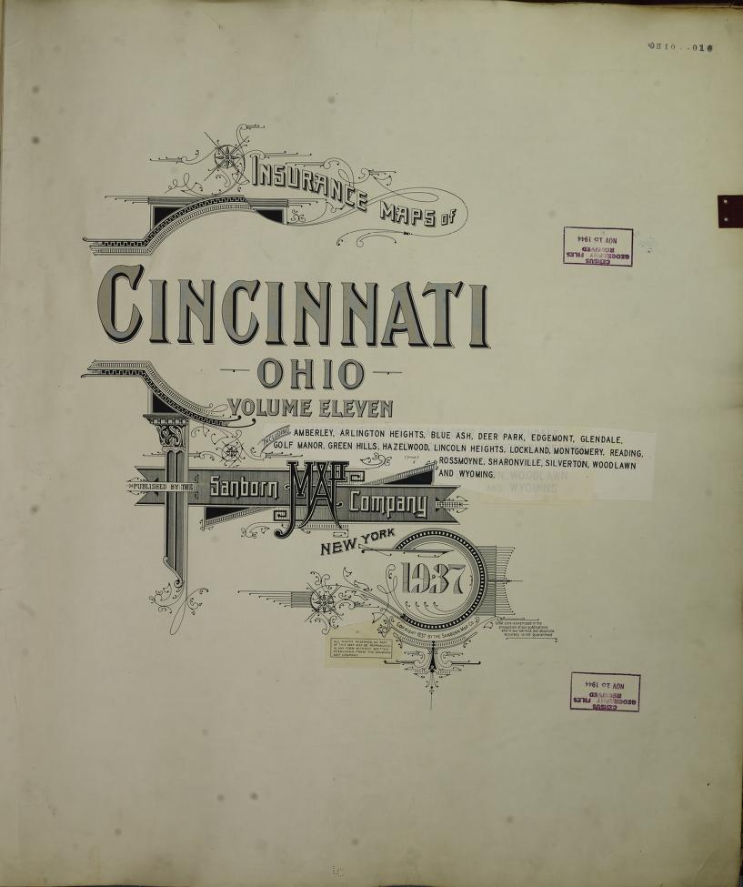
Map 1: Sanborn Map, Circa 1934–1937 This map shows Lincoln Heights with a significantly larger geographic footprint than it holds today. The layout includes roadways that reflect a growing village shaped by the families who lived and built there long before the area was officially incorporated. Map 2: Sanborn Map, Circa 1937–1950 In stark contrast, […]